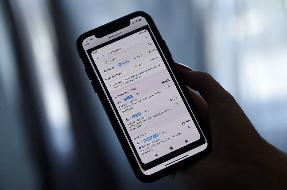
A new version of Google’s mapping service being rolled out will display pandemic-related transit alerts and let people know when buses or trains might be crowded.
Updated versions of the free app for smartphones powered by Apple or Google-backed Android software will also let drivers know about COVID-19 checkpoints or restrictions on their routes.
“We’re introducing features to help you easily find important information if you need to venture out, whether it’s by car or public transportation,” Google Maps product management director Ramesh Nagarajan said in a blog post.