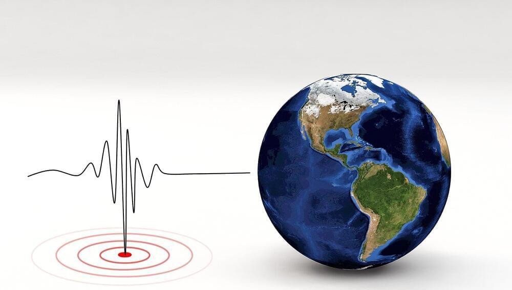
The Santa Cruz Mountains define the geography of the Bay Area south of San Francisco, protecting the peninsula from the Pacific Ocean’s cold marine layer and forming the region’s notorious microclimates. The range also represents the perils of living in Silicon Valley: earthquakes along the San Andreas fault.
In bursts that last seconds to minutes, earthquakes have moved the region’s surface meters at a time. But researchers have never been able to reconcile the quick release of the Earth’s stress and the bending of the Earth’s crust over years with the formation of mountain ranges over millions of years. Now, by combining geological, geophysical, geochemical and satellite data, geologists have created a 3D tectonic model that resolves these timescales.
The research, which appears in Science Advances Feb. 25, reveals that more mountain building happens in the period between large earthquakes along the San Andreas Fault, rather than during the quakes themselves. The findings may be used to improve local seismic hazard maps.