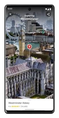
Google Maps to add “immersive view”
Google Maps, the world’s most-downloaded travel app, will soon become more immersive and intuitive thanks to a major upgrade.
The online tool is used by over 1 billion people every month. It already includes satellite imagery, aerial photography, street maps, 360° interactive panoramic views of streets, real-time traffic conditions, and route planning. At its annual I/O developer conference held in California, Google announced key features being added to further enhance its appearance and functionality.
