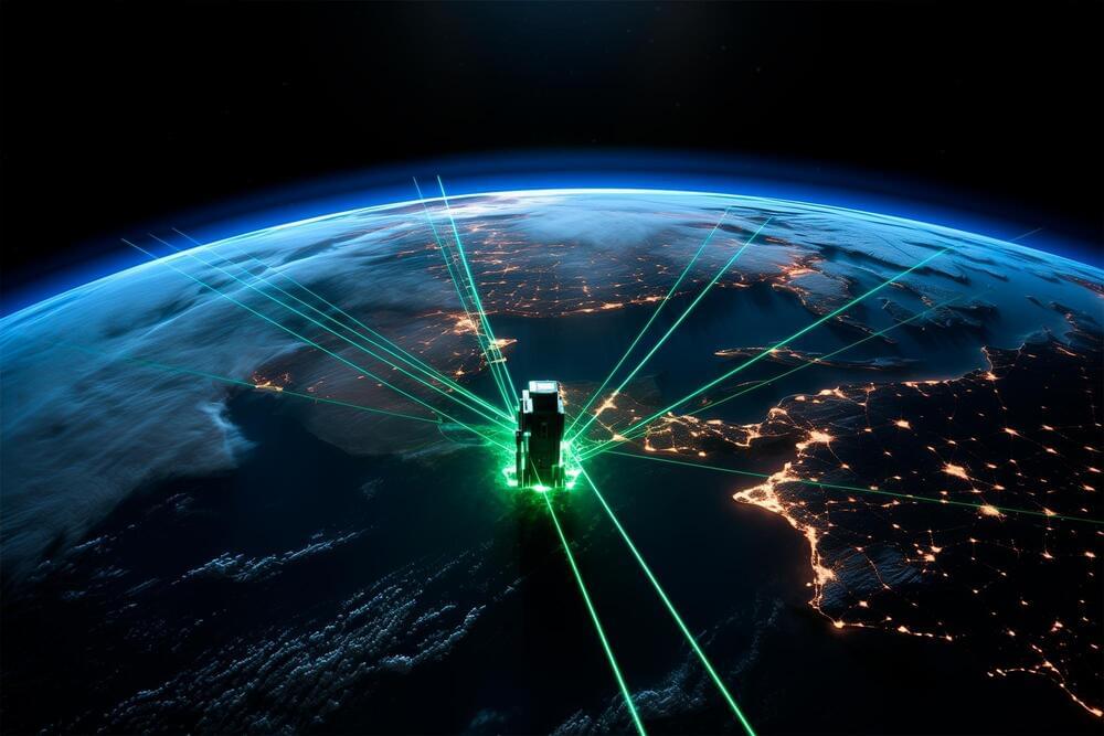
Laser retroreflector arrays (LRAs) are advancing GPS satellite capabilities, crucial for accurate Earth measurements in geodesy. This technology enables precise tracking of Earth’s shape, rotation, and environmental changes.
The best known use of GPS satellites is to help people know their location whether driving a car, navigating a ship or plane, or trekking across remote territory. Another important, but lesser-known, use is to distribute information to other Earth-viewing satellites to help them pinpoint measurements of our planet.
NASA and several other federal agencies, including the U.S. Space Force, U.S. Space Command, the U.S. Naval Research Laboratory, and the National Geospatial-Intelligence Agency are improving the location accuracy of these measurements down to the millimeter with a new set of laser retroreflector arrays, or LRAs.
