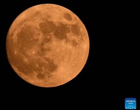
Scientists have developed a new artificial intelligence (AI) technology that models and maps the natural environment in intricate detail. Check out how this could help scientists in their work.
Category: mapping – Page 37
These steps are repeated for each cell type, creating a richer and more complete map of the brain with each run-through.
Working together to build a brain map
Scientists now have the tools to examine the entire brain in very fine detail. There has been considerable effort to coordinate and pool data from brain mapping research labs to create comprehensive brain maps. For example, the U.S. BRAIN Initiative created the BRAIN Initiative Cell Census Network (BICCN) in which my lab participates. Collaborating research groups in the network recently released the most comprehensive map of cell types in the brain’s motor cortex across humans, monkeys and mice.
PBS Member Stations rely on viewers like you. To support your local station, go to: http://to.pbs.org/DonateSPACE
↓ More info below ↓
Sign Up on Patreon to get access to the Space Time Discord!
https://www.patreon.com/pbsspacetime.
Sign up for the mailing list to get episode notifications and hear special announcements!
https://tinyurl.com/yx9cusk5
Check out the Space Time Merch Store.
Autonomous drone mapping startup Emesent has announced its latest survey-grade LiDAR payload: Hovermap ST. The lightweight, IP65-rated solution is being launched with Emesent’s new Automated Ground Control feature that, the company stresses, enables autonomous data capture in harsher environments than ever and for a wider range of use cases.
Emesent’s LiDAR payloads leverage a process called simultaneous localization and mapping (SLAM), in which a drone builds a map and, at the same time, localizes the drone in that map.
The Santa Cruz Mountains define the geography of the Bay Area south of San Francisco, protecting the peninsula from the Pacific Ocean’s cold marine layer and forming the region’s notorious microclimates. The range also represents the perils of living in Silicon Valley: earthquakes along the San Andreas fault.
In bursts that last seconds to minutes, earthquakes have moved the region’s surface meters at a time. But researchers have never been able to reconcile the quick release of the Earth’s stress and the bending of the Earth’s crust over years with the formation of mountain ranges over millions of years. Now, by combining geological, geophysical, geochemical and satellite data, geologists have created a 3D tectonic model that resolves these timescales.
The research, which appears in Science Advances Feb. 25, reveals that more mountain building happens in the period between large earthquakes along the San Andreas Fault, rather than during the quakes themselves. The findings may be used to improve local seismic hazard maps.
Scientists from Nanyang Technological University, Singapore (NTU Singapore), have developed a fast and low-cost imaging method that can analyze the structure of 3D-printed metal parts and offer insights into the quality of the material.
Most 3D-printed metal alloys consist of a myriad of microscopic crystals, which differ in shape, size, and atomic lattice orientation. By mapping out this information, scientists and engineers can infer the alloy’s properties, such as strength and toughness. This is similar to looking at wood grain, where wood is strongest when the grain is continuous in the same direction.
This new made-in-NTU technology could benefit, for example, the aerospace sector, where low-cost, rapid assessment of mission critical parts—turbine, fan blades and other components—could be a gamechanger for the maintenance, repair and overhaul industry.
Researchers from the University of Oxford’s Big Data Institute have taken a major step towards mapping the entirety of genetic relationships among humans: a single genealogy that traces the ancestry of all of us. The study has been published today in Science.
Russia launched attacks on major cities and airports across Ukraine, shelling more than a dozen cities and towns and crossing the border in multiple locations.
“We saw a very large coronal mass ejection, which is a major storm on the sun,” Todd explained. “It happened on the far side, which is awfully good because it was enormous.”
Though the explosive CME is not expected to strike Earth, images captured by satellite and seismic mapping showing the sheer size of the eruption had many people talking, Todd said.
Todd said scientists estimate the flare stretched to roughly 400,000 kilometers, greater than the distance between the Earth and the Moon.