БЛОГ

Archive for the ‘mapping’ category: Page 5

Apr 22, 2024

China releases world’s first high-precision geological map of moon

Posted by in categories: mapping, space

China released the world’s first set of high-precision geological maps of the moon drawn by China’s scientific research team on Sunday, mainly based on scientific exploration data from the Chang’e Project.

The highest precision geological atlas of the whole moon, with a scale of 1:2.5 million, can visualize the craters on the lunar surface, rocks and minerals found on the satellite of the Earth, and what kind of geological activity the moon has experienced.

As the internationally used geological maps of the moon obtained by the Apollo program of the US cannot reflect the latest research results of mankind in recent decades, they are no longer able to meet the needs of future scientific research and lunar exploration, according to the Chinese Academy of Sciences (CAS).

Apr 19, 2024

A third of China’s urban population at risk of city sinking, new satellite data shows

Posted by in categories: climatology, health, mapping, sustainability

Land subsidence is overlooked as a hazard in cities, according to scientists from the University of East Anglia (UEA) and Virginia Tech. Writing in the journal Science, Prof Robert Nicholls of the Tyndall Center for Climate Change Research at UEA and Prof Manoochehr Shirzaei of Virginia Tech and United Nations University for Water, Environment and Health, Ontario, highlight the importance of a new research paper analyzing satellite data that accurately and consistently maps land movement across China.

Apr 17, 2024

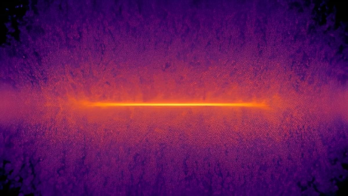
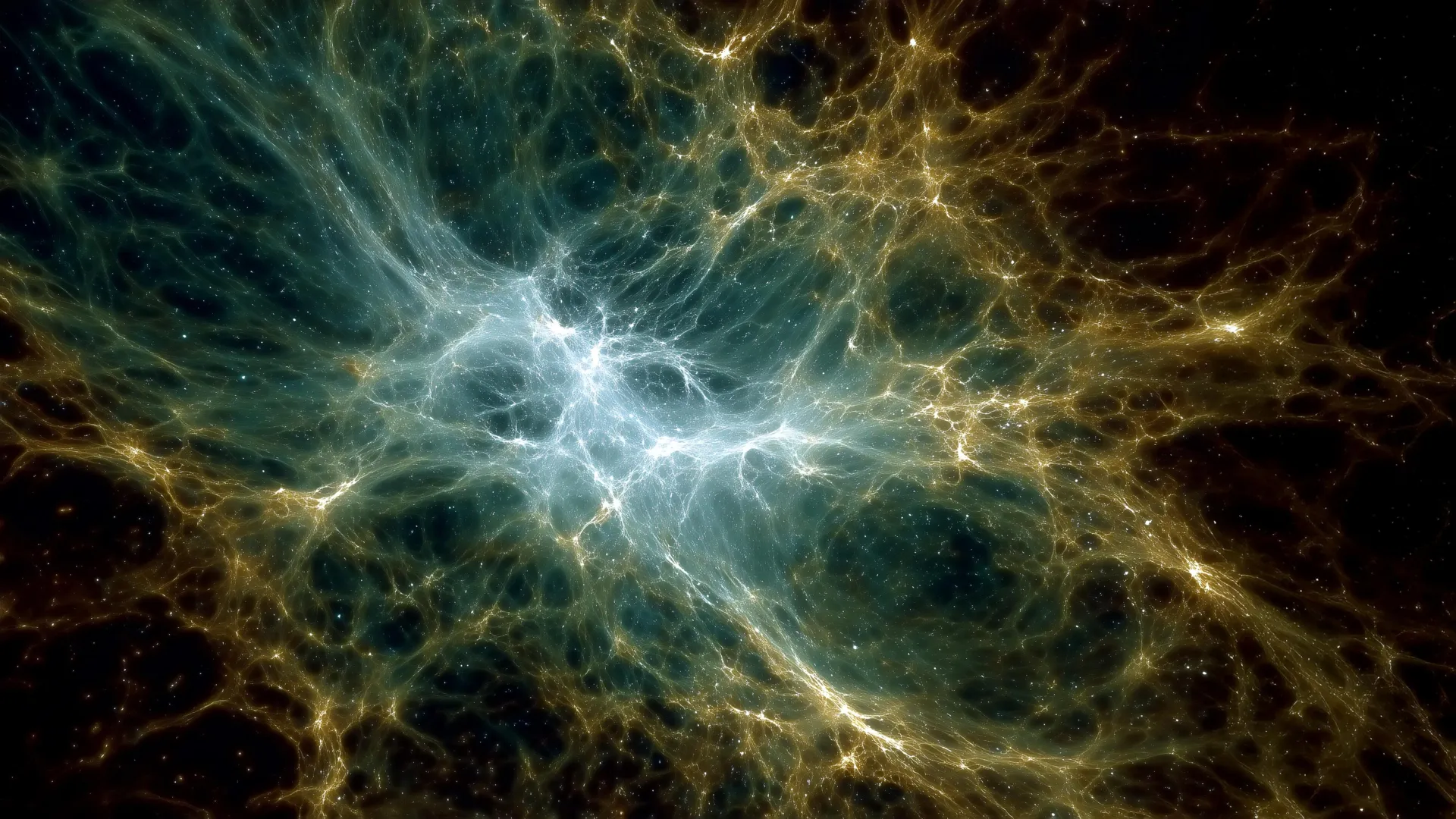
Unraveling Dark Energy and Cosmic Expansion With an 11-Ton Time Machine

Posted by in categories: cosmology, mapping, time travel

I found this on NewsBreak: Unraveling Dark Energy and Cosmic Expansion With an 11-Ton Time Machine.

Apr 10, 2024

Autonomous watercraft for underwater and surface mapping of rivers, lakes

Posted by in categories: mapping, robotics/AI

Fraunhofer researchers developed an easy-to-operate, unmanned watercraft that autonomously surveys bodies of water both above and below the surface and produces corresponding 3D maps.


The unmanned watercraft uses its GPS, acceleration and angular rate sensors, and a Doppler velocity log (DVL) sensor to incrementally feel its way along the bottom of the body of water. In combination with mapping software, laser scanners, and cameras enable the device to reconstruct high-precision 3D models of the surroundings above water. A multi-beam sonar integrated into the sensor system is used for underwater mapping and creating a complete 3D model of the bed.

“Our navigation system is semi-automatic in that the user only needs to specify the area to be mapped. The surveying process itself is fully automatic, and data evaluation is carried out with just a few clicks of the mouse. We developed the software modules required for the mapping and autonomous piloting,” explains Dr. Janko Petereit, a scientist at Fraunhofer IOSB.

Continue reading “Autonomous watercraft for underwater and surface mapping of rivers, lakes” »

Apr 10, 2024

Masked acid chlorides for proximity labelling of RNA

Posted by in categories: chemistry, mapping

A non-radical proximity labelling platform — BAP-seq — is presented that uses subcellular-localized BS2 esterase to convert unreactive enol-based probes into highly reactive acid chlorides in situ to label nearby RNAs. When paired with click-handle-mediated enrichment and sequencing, this chemistry enables high-resolution spatial mapping of RNAs across subcellular compartments.

Mar 30, 2024

Astronomers map 1.3 million supermassive black holes

Posted by in categories: computing, cosmology, mapping, physics

Ever wonder where all the active supermassive black holes are in the universe? Now, with the largest quasar catalog yet, you can see the locations of 1.3 million quasars in 3D.

The catalog, Quaia, can be accessed here.

“This quasar catalog is a great example of how productive astronomical projects are,” says David Hogg, study co-author and computational astrophysicist at the Flatiron Institute, in a press release. “Gaia was designed to measure stars in our galaxy, but it also found millions of quasars at the same time, which give us a map of the entire universe.” By mapping and seeing where quasars are across the universe, astrophysicists can learn more about how the universe evolved, insights into how supermassive black holes grow, and even how dark matter clumps together around galaxies. Researchers published the study this week in The Astrophysical Journal.

Mar 30, 2024

Mapping the best route for a spacecraft traveling beyond the sun’s sphere of influence

Posted by in categories: cosmology, mapping, particle physics

The heliosphere—made of solar wind, solar transients, and the interplanetary magnetic field—acts as our solar system’s personal shield, protecting the planets from galactic cosmic rays. These extremely energetic particles accelerated outwards from events like supernovas and would cause a huge amount of damage if the heliosphere did not mostly absorb them.

Mar 27, 2024

Predicting and Controlling Bad Actor Artificial Intelligence

Posted by in categories: cybercrime/malcode, government, internet, mapping, robotics/AI

This article includes computer-generated images that map internet communities by topic, without specifically naming each one. The research was funded by the US government, which is anticipating massive interference in the 2024 elections by “bad actors” using relatively simple AI chat-bots.


In an era of super-accelerated technological advancement, the specter of malevolent artificial intelligence (AI) looms large. While AI holds promise for transforming industries and enhancing human life, the potential for abuse poses significant societal risks. Threats include avalanches of misinformation, deepfake videos, voice mimicry, sophisticated phishing scams, inflammatory ethnic and religious rhetoric, and autonomous weapons that make life-and-death decisions without human intervention.

During this election year in the United States, some are worried that bad actor AI will sway the outcomes of hotly contested races. We spoke with Neil Johnson, a professor of physics at George Washington University, about his research that maps out where AI threats originate and how to help keep ourselves safe.

Continue reading “Predicting and Controlling Bad Actor Artificial Intelligence” »

Mar 24, 2024

Gravity Measurement Based on a Levitating Magnet

Posted by in categories: energy, mapping

A new gravimeter is compact and stable and can detect the daily solar and lunar gravitational oscillations that are responsible for the tides.

Gravity measurements can help with searches for oil and gas or with predictions of impending volcanic activity. Unfortunately, today’s gravimeters are bulky, lack stability, or require extreme cooling. Now researchers have demonstrated a design for a small, highly sensitive gravimeter that operates stably at room temperature [1]. The device uses a small, levitated magnet whose equilibrium height is a sensitive probe of the local gravitational field. The researchers expect the design to be useful in field studies, such as the mapping of the distribution of underground materials.

Several obstacles have impeded the development of compact gravimeters, says Pu Huang of Nanjing University in China. Room-temperature devices generally use small mechanical oscillators, which offer excellent accuracy. However, they are made from materials that exhibit aging effects, so these gravimeters can lose accuracy over time. Much higher stability can be achieved with superconducting devices, but these require cryogenic conditions and so consume lots of power and are hard to use outdoors.

Mar 21, 2024

Google used AI to accurately predict floods up to 7 days in advance

Posted by in categories: mapping, robotics/AI

Google just announced that it has been riverline floods, up to seven days in advance in some cases. This isn’t just tech company hyperbole, as the findings were actually published Nature. Floods are the most common natural disaster throughout the world, so any early warning system is good news.

Floods have been notoriously tricky to predict, as most rivers don’t have streamflow gauges. Google got around this problem by with all kinds of relevant data, including historical events, river level readings, elevation and terrain readings and more. After that, the company generated localized maps and ran “hundreds of thousands” of simulations in each location. This combination of techniques allowed the models to accurately predict upcoming floods.

Page 5 of 52First23456789Last