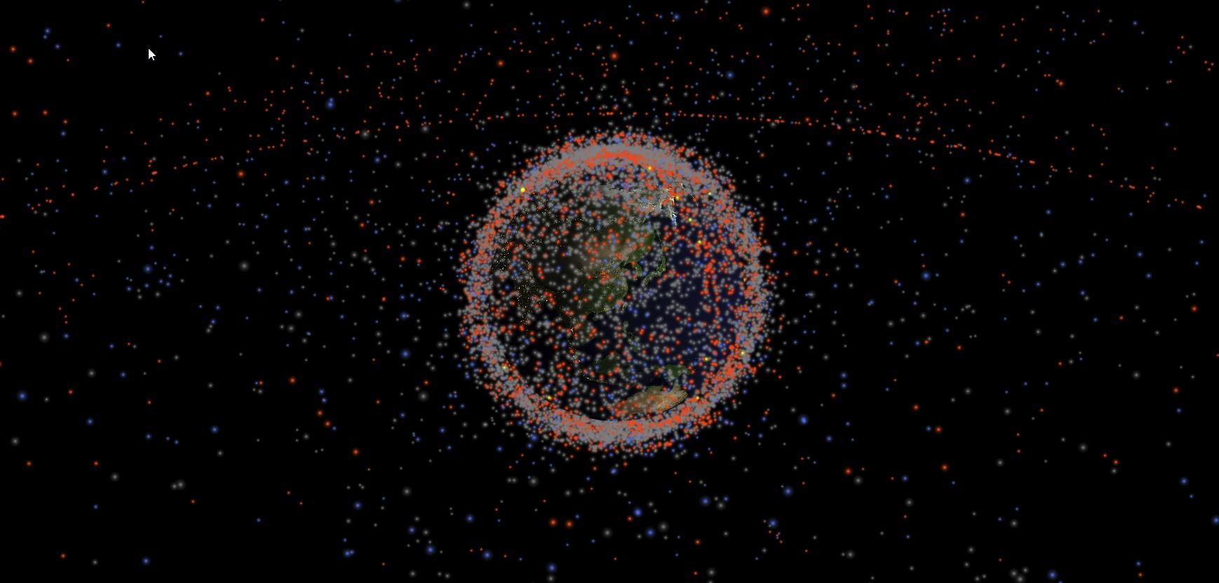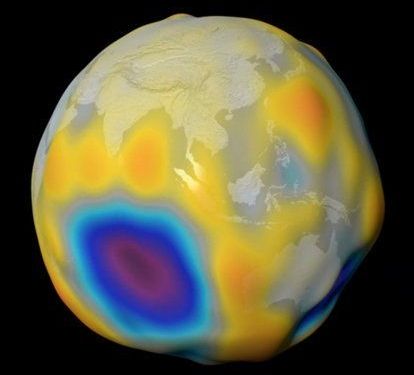
A trio of satellites studying our planet’s magnetic field have shown details of the steady swell of a magnetic field produced by the ocean’s tides.
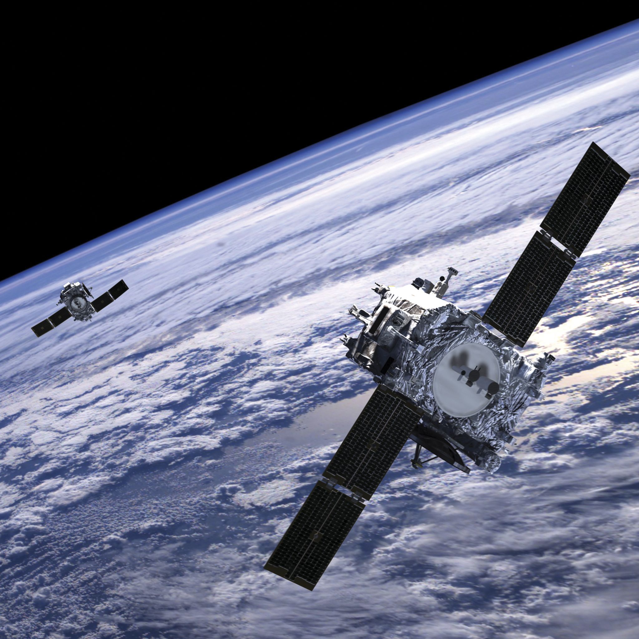
Four years of data collected by the European Space Agency’s (ESA) Swarm mission have contributed to the mapping of this ‘other’ magnetic field, one that could help us build better models around global warming.
Physicist Nils Olsen from the Technical University of Denmark presented the surprising results at this year’s European Geosciences Union meeting in Vienna, explaining how his team of researchers managed to detail such a faint signature.