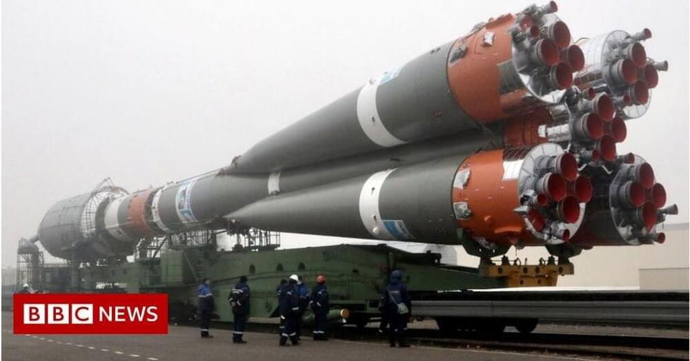
Russia’s space agency is refusing to launch OneWeb satellites part-owned by the UK government.

Starlink promises high speed and low latency internet access.
On Saturday, CEO Elon Musk posted on his Twitter page that Starlink service is active in Ukraine, with more terminals en route. Previously, Mykhailo Fedorov, vice prime minister of Ukraine, had tweeted to Musk on Saturday, February 26, calling for the tech billionaire to provide some assistance to Ukraine amidst the Russian attack on the country.
Starlink is designed to help people in areas without access to reliable, ground-based internet get online — so long as they have a view of the sky. Starlink promises high-speed and low latency service without relying on expensive ground-based fiber optic cables or local infrastructure. Just point a dish at the sky, and the supplied hardware will connect to the internet using the satellites orbiting above.
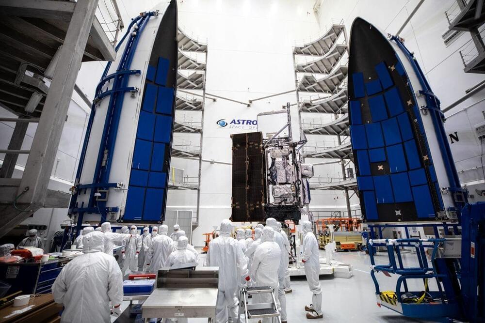
Once it’s in space, it’ll be known as GOES-18.
“A big part of the GOES-R [series] mission is actually doing solar observations,” said Pam Sullivan, NOAA’s GOES-R program director.
Before GOES-T can begin its weather-watching mission, it does have to reach space. To do that, it will need good weather.
Current forecasts predict a 60% chance of good weather at launch time on Tuesday, with conditions improving to 70% on Wednesday if NASA and NOAA have to delay for a day, said launch weather officer Jessica Williams of the 45th Weather Squadron at Space Launch Delta in the briefing.

Vice Prime Minister Fedorov reached out to Elon Musk for Starlink internet service in a last-ditch effort to restore internet access. As Russian forces approach Kyiv, Ukraine has been suffering internet problems.
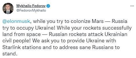
Mykhailo Fedorov, Ukraine’s Vice Prime Minister and Minister of Digital Transformation contacted SpaceX CEO Elon Musk about the company’s Starlink satellite broadband service.
“While you are attempting to conquer Mars, Russia is attempting to invade Ukraine!” Fedorov said on Twitter. Russian missiles hit Ukrainian civilians as your rockets successfully land in orbit! We request that you send Starlink stations to Ukraine and direct all rational Russians to take a position.”
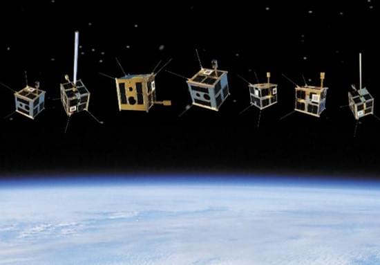
At the Vandenberg Space Force Base in California, SpaceX launched its second shipment of internet-bearing satellites on Friday. The satellites will deliver internet access to users all across the world.
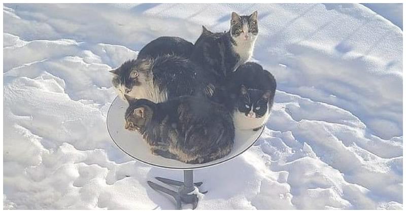
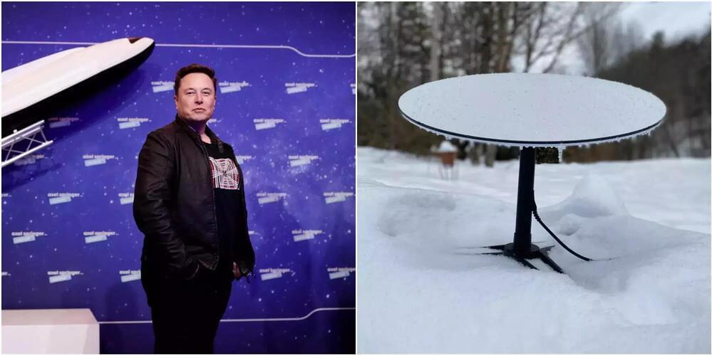
The heat from Starlink’s receiver dishes is helping felines and other small animals stay warm through the cold winters.
Starlink is an important project of SpaceX and Elon Musk to provide high-speed satellite Internet to mankind. Although it is not yet clear how we humans will benefit, this project is definitely being extremely popular with cats, at least for the time being. The reason is because Starlink’s receiver dishes are becoming the ideal place for cats to rest and warm up in the cold winter.
Specifically, on a Twitter post on New Year’s Eve, one user named Aaron Taylor captured an image of 5 cats cuddled up on one of Starlink satellite dishes. Meanwhile, though the outdoor temperature seemed quite low and the ground was still covered with snow, the heat emitted from the receiver dishes appeared to be enough to warm the kittens, making them continue to lie there.
The Future Of Space Tech & Innovation — Dr. Joel Mozer Ph.D., Director of Science, Technology & Research, United States Space Force.
Dr. Joel Mozer is the Director of Science, Technology, and Research, United States Space Force (https://www.spaceforce.mil/).
With a PhD in Physics, and MS in Atmospheric Science, from University of Arizona, Dr. Mozer serves as the principal scientific advisor to the Commander and is the senior authority for all science and technology matters for an organization of approximately 11,000 space professionals worldwide, and manages a global network of satellite command and control, communications, missile warning and launch facilities. In this role, he interacts with other principals, operational commanders, combatant commands, acquisition, and international communities to address cross-organizational science and technical issues and solutions.
Dr. Mozer represents USSF science and technology on decisions, high-level planning, and policy, building coalitions and alliances throughout the U.S. government, industry, academia, the international community, and other scientific and technology organizations.
Dr. Mozer entered government service in 1992 with the U.S. Air Force. Prior to his current assignment, he was Chief Space Experimentalist of the Air Force Research Laboratory Space Vehicle Directorate. In that role, he was responsible for managing AFRL’s $40 million-per-year investment in research and development related to the development of experimental satellites and payloads and conducted a team of 100 engineers and scientists at Kirtland and Holloman Air Force Bases, New Mexico — all working to develop cost-effective ways to assemble, integrate, test and fly novel spacecraft and systems and demonstrating new concepts for Department of Defense systems and missions. His area of specialization relates to space control and remote sensing — understanding the natural and man-made space environment and developing forecast tools for warfighters, theater battle commanders and other decision-makers to mitigate risks.
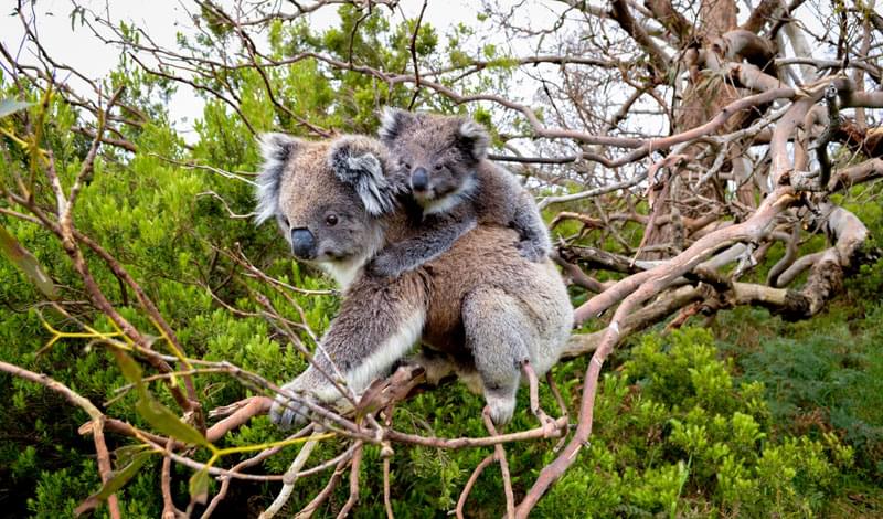
When the koala fur trade began during the late 19th century, as many as 10 million koalas are thought to have existed in Australia. Since then, they have declined to a fraction of their historic range and numbers. Between 2000 and 2016, the states of Queensland and New South Wales bulldozed at least 885,000 hectares of forest and bushland that provided habitat for koalas, based on analyses of vegetation loss derived from satellite imagery.
Having previously classified the animal as “Least Concern” on its Red List, the International Union for Conservation of Nature (IUCN) uplisted the koala to “Vulnerable” in 2016. A report by the WWF in 2017 found a 53% decline per generation in Queensland and a 26% decline in New South Wales.
Estimates of their exact numbers vary considerably, but the Australian government has just published a new detailed analysis, showing the rapid and ongoing decline of koala populations in Eastern Australia. Following the disastrous wildfires of 2019–2020, they have now dipped below 100,000 to approximately 92,000 and are projected to fall by another third in this region during the next decade, possibly reaching 63,000 by 2032.