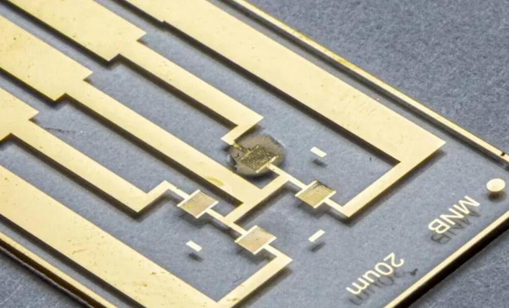
Advances in display technologies prompt the development of electronic products with foldable and flexible panels. Flexible displays have thin-film transistors (TFTs) built in that act as an on/off light switch for the display. At the same time, important considerations for the advancement of next generation displays include electrical charge transmission velocity, operation stability, and production cost reduction.
Recently, a research team at POSTECH has proposed a highly efficient crosslinking strategy for a dense and defect-free thin-film organic-inorganic hybrid dielectric layer. The findings from the study were published in Nature Communications.
The global evolution of IoT has raised interest in metal-oxide semiconductor-based circuits with low standby power consumption. Attention has been particularly keen on TFT materials capable of low-cost solution processing. Among several solution-processable semiconductors, metal oxides are regarded as the most successful material platforms for TFTs mainly because of their high charge carrier mobility and operational stability.


