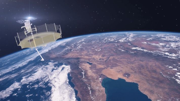
Satellite and Earth observation startup Capella Space has unveiled a new design for its satellite technology, which improves upon its existing testbed hardware platform to deliver high-resolution imaging capable of providing detail at less than 0.5 meters (1.6 feet). Its new satellite, code-named “Sequoia,” also will be able to provide real-time tasking, meaning Capella’s clients will be able to get imaging from these satellites of a desired area basically on demand.
Capella’s satellites are “synthetic aperture radar” (SAR for short) imaging satellites, which means they’re able to provide 2D images of the Earth’s surface even through cloud cover, or when the area being imaged is on the night side of the planet. SAR imaging resolution is typically much higher than the 0.5-meter range that Capella’s new design will enable — and it’s especially challenging to get that kind of performance from small satellites, which is what Sequoia will be.
The new satellite design is a “direct result of customer feedback,” Capella says, and includes advancements like an improved solar array for faster charging and quicker recycling; better thermals to allow it to image for longer stretches at a time; a much more agile targeting array, which means it can switch targets much more quickly in response to customer needs; and a higher bandwidth downlink, meaning it can transfer more data per orbital pass than any other SAR system from a commercial company in its size class.


Comments are closed.